the mani
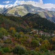
Of the three fingerlike peninsulas of the Peloponnese, the middle one is called “The Mani”. It consists mainly of the long stretched range of the Taygetos Mountains, reaching approximately 100 kilometers from the southern tip of the Mani to the center of the Peloponnese. The altitude difference is from sea level up to 2404m. There are many gorges and ravines separating the mountain ranges, which in the past made the area almost inaccessible for humans. Thus pirates and refugees (from the frequently changing rulers of the plains) found shelter on the Mani.
Patrick Leigh Fermor, British author and soldier, who lived in the Mani for many years, describes concisely the turbulent history of the people of the area in his book Mani – Travels in the Southern Peloponnese:
Some of these vendettas grew into miniature local wars and kept the Mani smoking with turbulence and bloodshed for centuries. For centuries, in fact, the only thing that could reconcile them was a Turkish inroad, when, suddenly, for brief idyllic periods of internal harmony, their long guns would all point the same way. Parties would leave to fight as mercenaries in the armies of the Doge. The poverty of the peninsula turned the Maniots into pirates, and their little ships were the terror of the Turkish and Venetian galleys in southern Peloponnesian waters. Their expeditions were undertaken less in search of riches than for the sober domestic need to buy wood,—fuel for lime burning for the building of tall towers in their treeless villages—and guns, with which to shoot at their neighbours through the loopholes when these were built. Many of their piratical exploits, like those of the klephts and armatoles in the mountains of the mainland, had a patriotic reason. The best known case is the destruction of part of the Ottoman fleet in Canea roads with Maniot fire-ships.
Nowadays many of the coastal towns of the Mani are popular tourist destinations and easily accessible by road from Kalamata, but the villages on the higher slopes and in the off coast valleys are much less frequented and often exude the romantic flair of past centuries. My pictures were taken on various trips to Mt. Kalathi above Kalamata, Profitis Ilias (the highest peak of Taygetos), and Ridomo Gorge, which can be accessed from Vorio or Pigadia.
mount kalathi
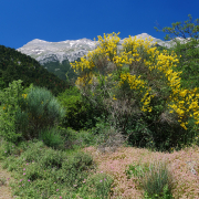
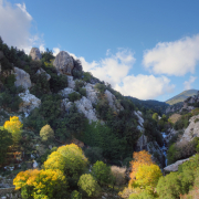
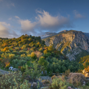
Mt Kalathi is a long mountain ridge, rising steeply above Kalamata in the east.
-
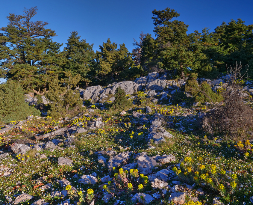
- Spring Morning on Kalathi

-
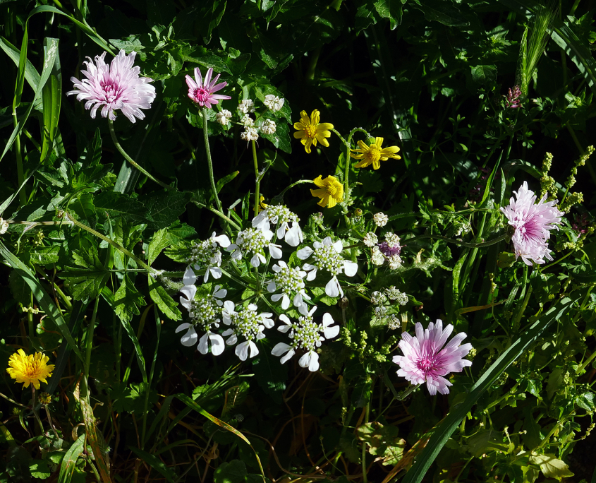
- Flowers

-
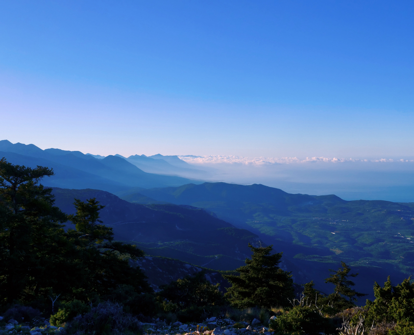
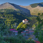
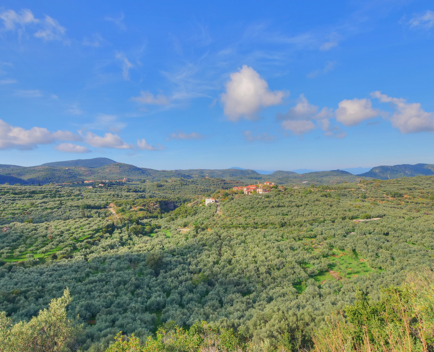
- The Mani from Kalathi

-
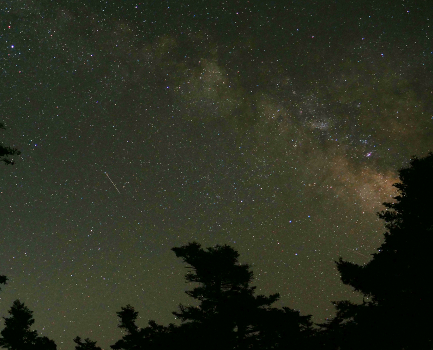
- The Milky Way from Kalathi

-
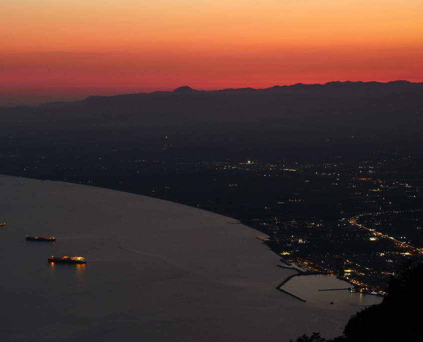
- Kalamata at Dusk

-
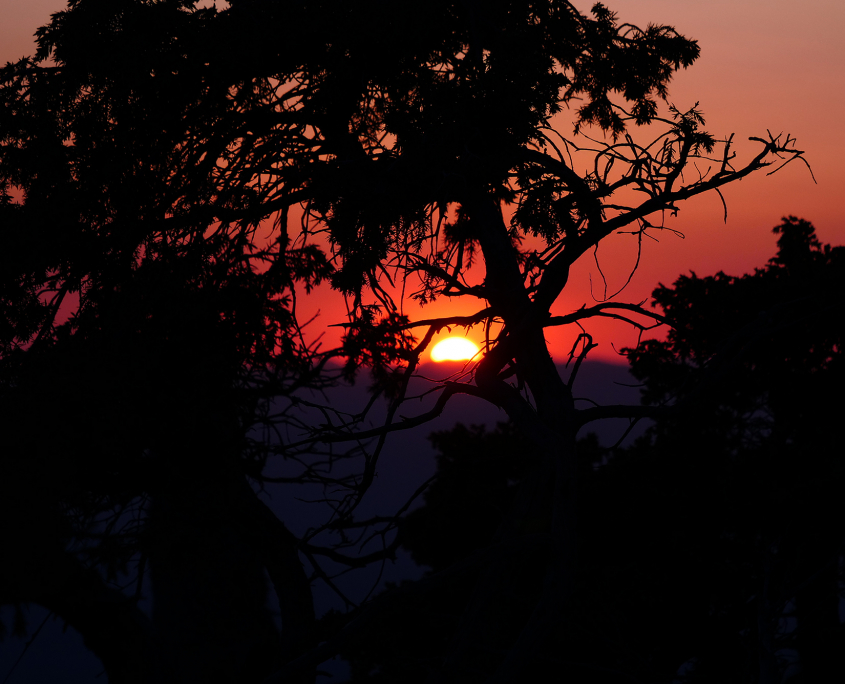
- Kalathi Sunset

-
- Kalathi Sunset

-
- Kalathi Sunset

-
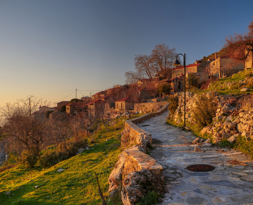
- Ano Verga

-
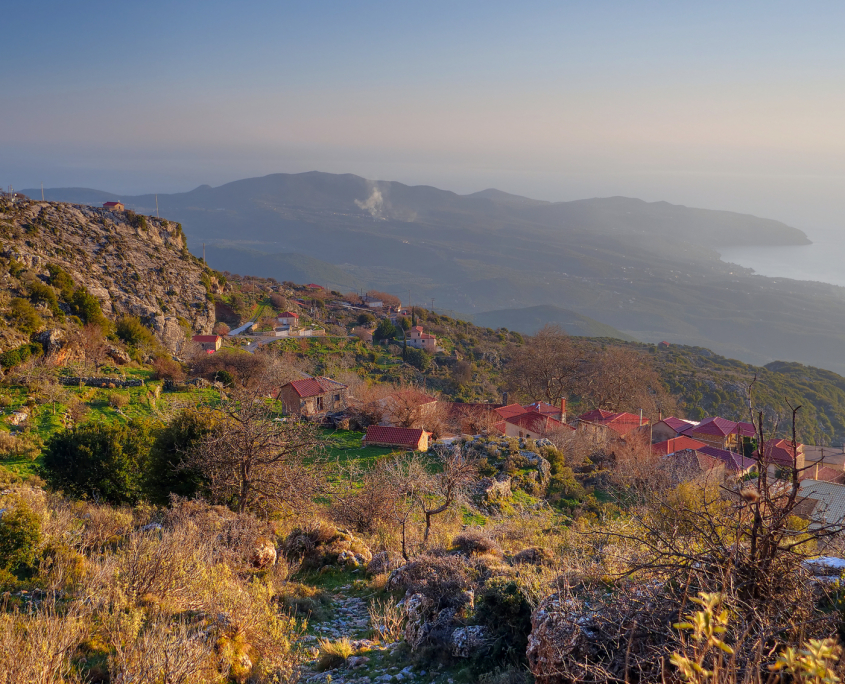
- Ano Verga and The Mani

-
- Sunset at Kato Verga

-
- Ano Verga

-
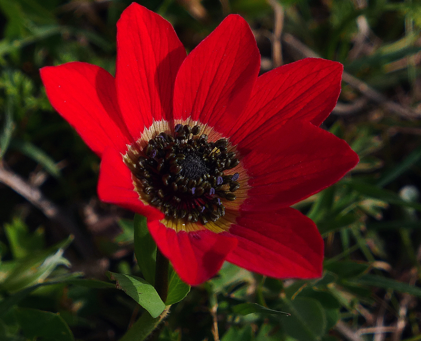
- Anemone Coronaria

-
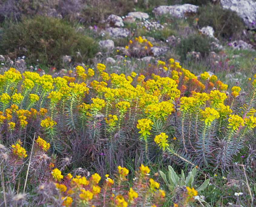
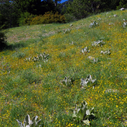
- Abundant Wildflowers

-
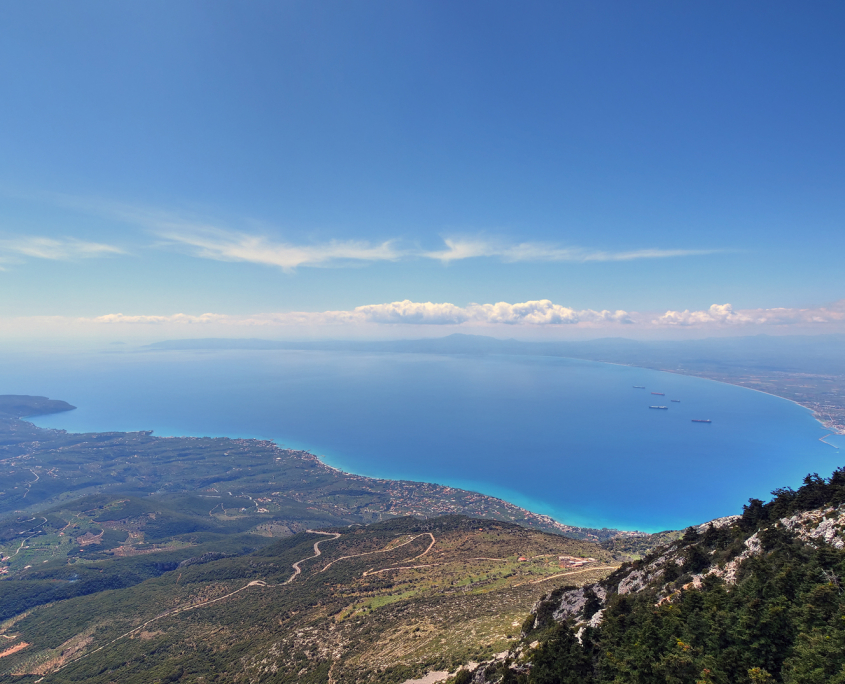
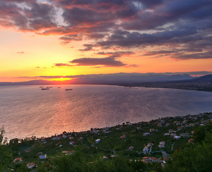
- The Bay of Messinia

-

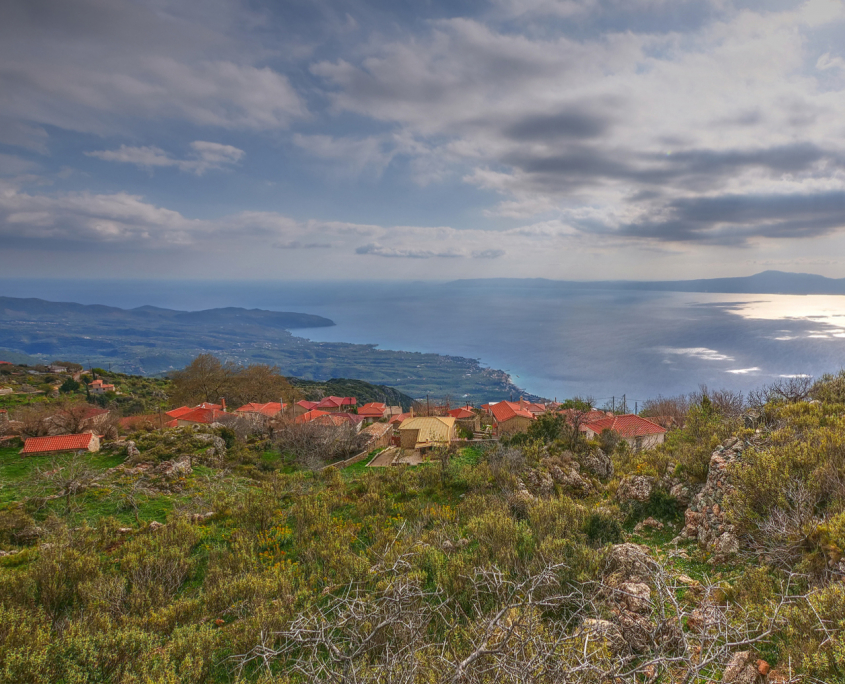
- Western Mani from Kalathi

-

- Taygetos from Kalathi

-
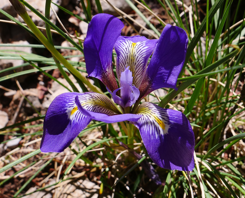
- Iris on Kalathi

-
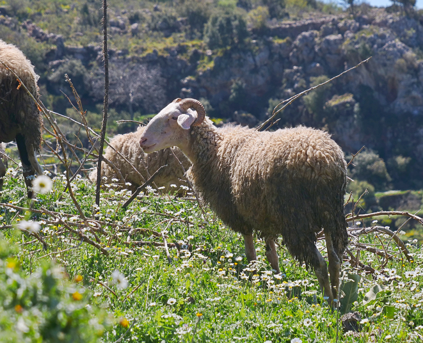
- Ram in Ano Verga

profitis ilias
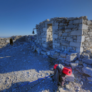
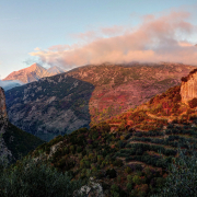
On the highest summit (2404m) of the Taygetos range there is a little roofless chapel with an altar providing shelter from the wind. It’s called Profitis Ilias (Greek for Prophet Elijah) and the peak is usually called after the chapel. This is a bit confusing, because I found at least three other chapels or hermitages with the same name in the area, but this “Profitis Ilias” is definitely the most famous one. In wintertime the highest parts of the Taygetos mountains are usually snow covered and even as late as May you may find some snow on Profitis Ilias.
-
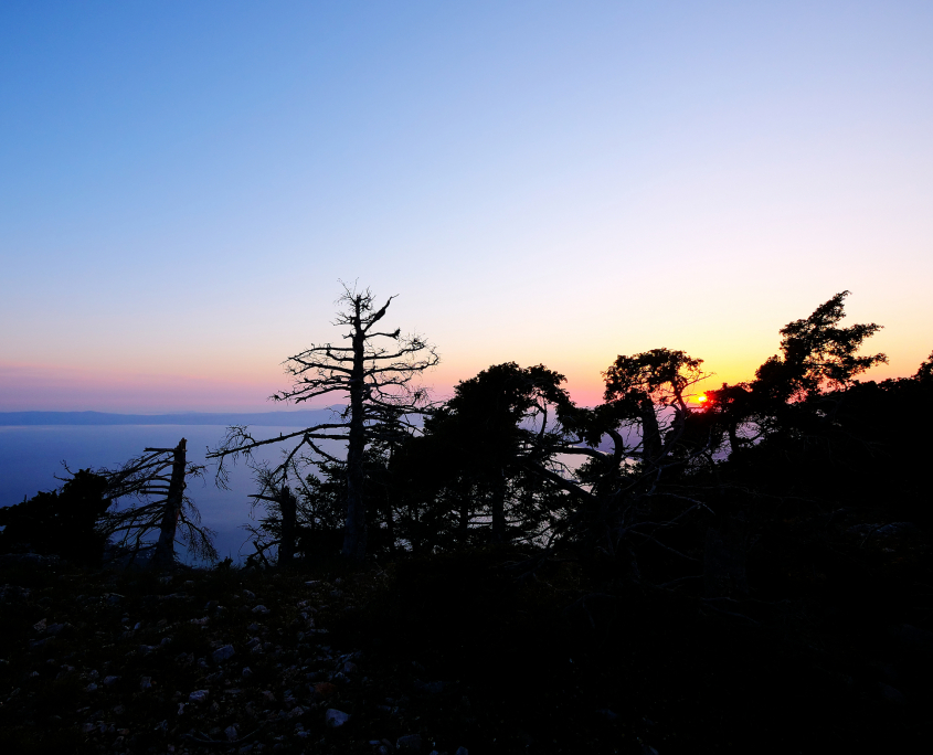
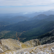
- Southern Mani from Profitis Ilias

-
- Looking Southeast towards Gytheion

-
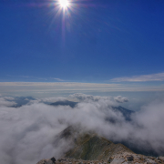
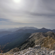
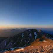
- Above the Clouds on Profitis Ilias

-
- Genista at the Foot of Profitis Ilias

-
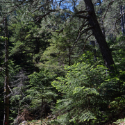
- Taygetos Forest

-
- A Meadow close to the refuge Katafygio EOS Spartis

-
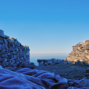
- The Old Chapel

-
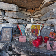
- The Altar at Profitis Ilias

-
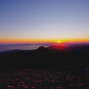
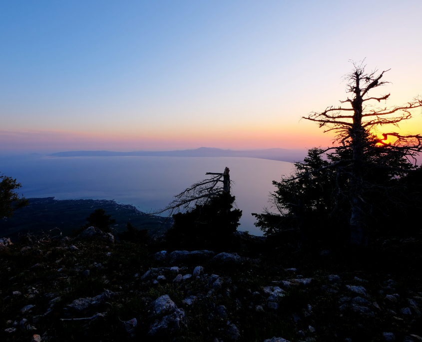
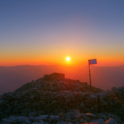
- Sunset on Profitis Ilias

-
- Looking North from Profitis Ilias

-
- A Cold Morning on Profitis Ilias, looking Northwest

-
- My Bivouac on Profitis Ilias

-
- Icy Morning on Profitis Ilias

-
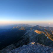
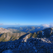
- The Southern Mani from Profitis Ilias

ridomo gorge
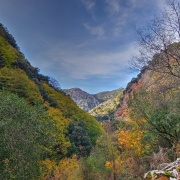
The Ridomo Gorge is on of the deepest and longest grooves in the Taygetos mountains, reaching from the Bay of Messinia to the slopes of Profitis Ilias.
-
- Pigadia

-
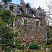
- A House in Pigadia

-
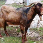
- A Ram in Pigadia

-
- A Gorge near Pigadia

-
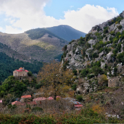
- The Village of Pigadia in the Taygetos

-
- Vorio

-
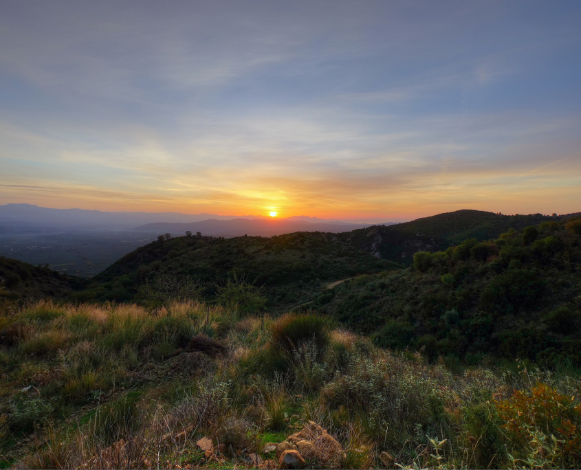
- Sunset near Vorio

-
- Profitis Ilias in Vorio

-
- Upper Part of Ridomo Gorge

-
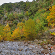
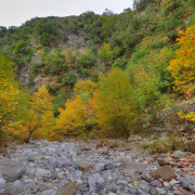
- Autumn in Ridomo Gorge

-
- Autumn in Ridomo Gorge

-
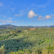
- The Village of Orovas amid Olive Groves

-
- Profitis Ilias in Vorio at Sunset

-

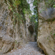
- Ridomo Gorge from Vorio

-

- Ridomo Gorge, Upper Part

-
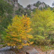
- Autumn in Ridomo Gorge

-
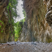
- Ridomo Gorge

-
- Ridomo Gorge

-
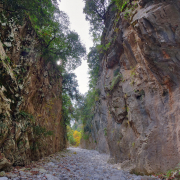
- Ridomo Gorge

pyrgos dirou
Pyrgos Dirou is famous for its dripstone caves at sea level.
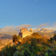
Above the village rises Sangias Oros (1214m). On the way there is another chapel with the name Profitis Ilias. From the chapel there are wonderful views of the Southern Mani and of the Messinian Bay and Taygetos mountains to the north.


coastal and lower regions
-
- The Village of Orovas amid Olive Groves
-
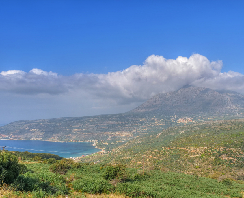
- The Bay of Itylo

-
- Sunrise over Laconia from Toriza

-
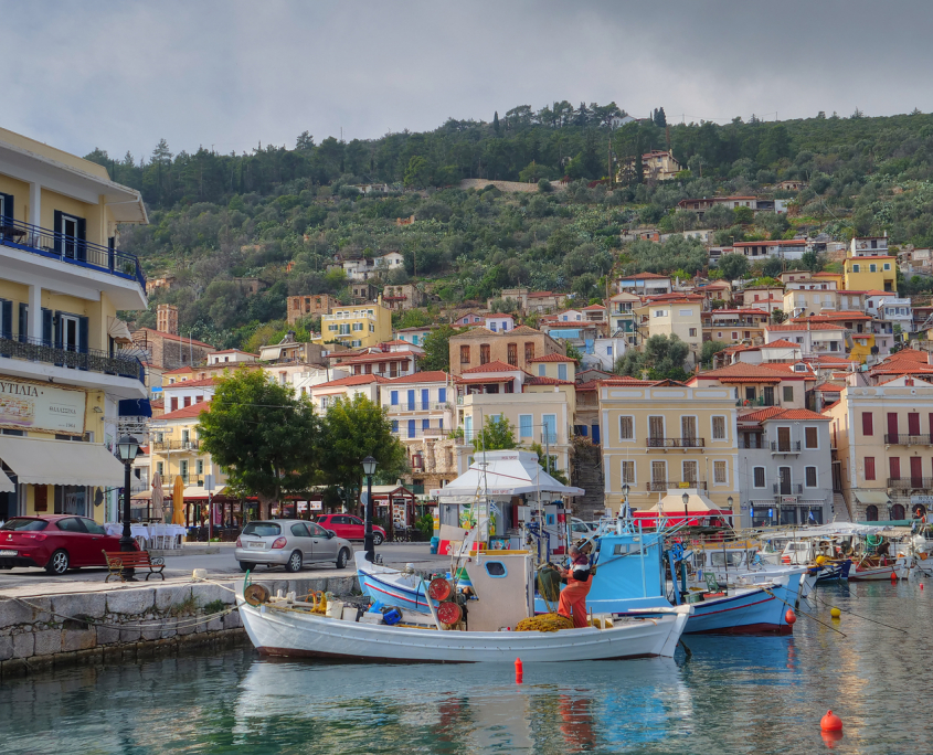
- Gytheios Harbour

-
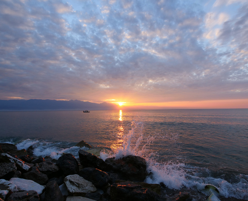
- Sunrise over the Mani from Analipsi

-
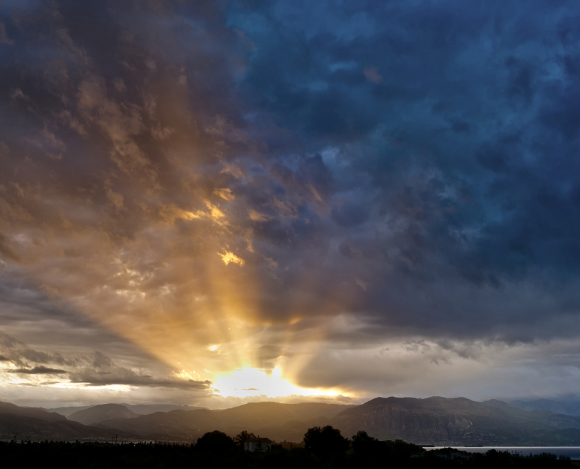
- Sunrise above Taygetos Mountains

-
- The Mani from Analipsi

-
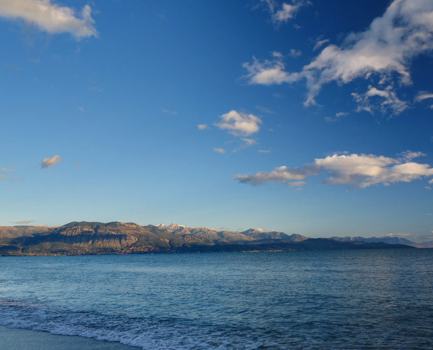
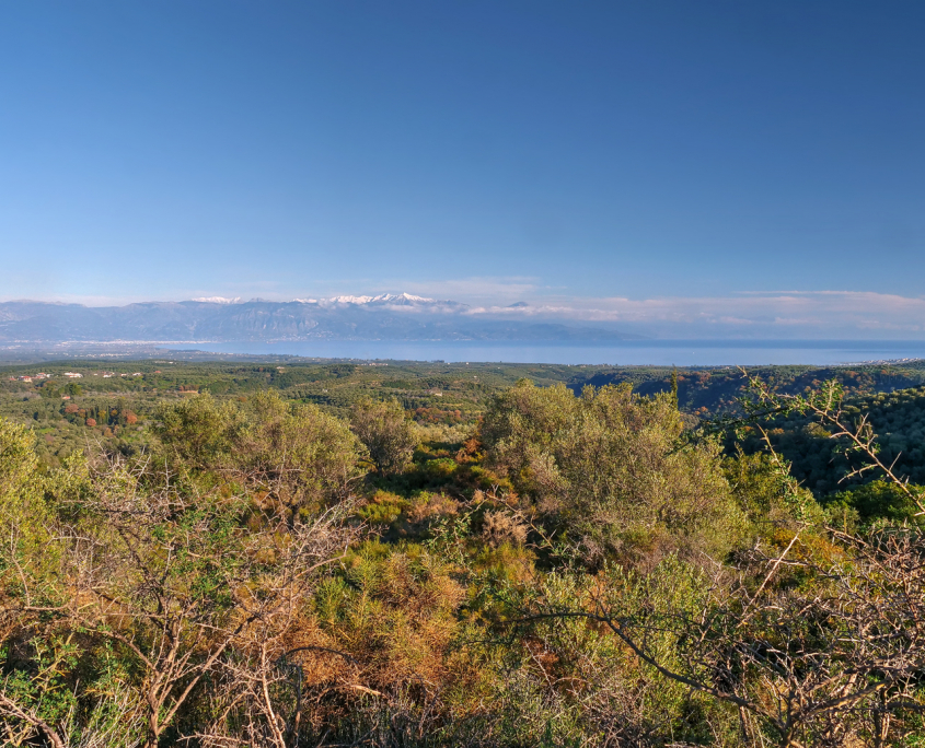
- Snowcapped Taygetos peaks from Analipsi

-
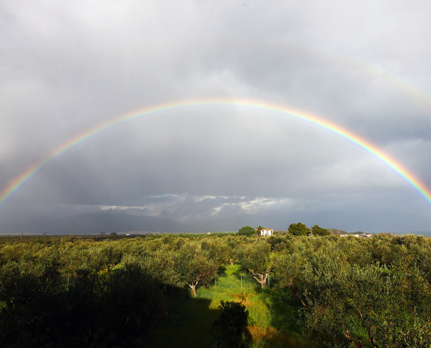
- A rainbow over the area of Kalamata with the Taygetos Mountains hidden in the clouds.

-
- From above Petalidi
